

Subscribe now for unlimited access.
$0/
(min cost $0)
or signup to continue reading
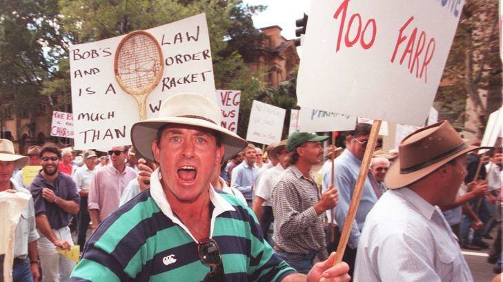
The protection of native vegetation has long been a fraught issue in Australia, highlighted by the shooting in 2014 of Glen Turner, a NSW Office of Environment and Heritage compliance staffer allegedly gunned down by a land-clearing wheat farmer near Moree in the state's north.
The issue is likely to be prominent again this year as the Baird government repeals the Native Vegetation Act and replaces it with a biodiversity conservation law, which conservationists fear will open the way to the broadscale destruction that Turner had been trying to prevent.
Confidence among environmental groups that protection for the state's many threatened species won't be undermined isn't being helped by a simmering feud within OEH over how to map the very vegetation that needs to be preserved.
Getting the maps right is also crucial to the bodies responsible for approving new development, whether a coal mine or a new housing lot, such as local governments.
"You may lose the last type of vegetation, thinking you've got more of it," says Robbie Economos-Shaw, an environmental planner with Lake Macquarie Council, adding that a culture of secrecy has taken hold of OEH over the years.
"You can't really come out and speak out without falling on your sword," he says.
'Inherently unusable'
Lake Macquarie was one of the group of Hunter councils so worried about the quality of new automated mapping being foisted on them by OEH that it commissioned a respected ecologist, John Hunter, to check how well it compared with the actual plants on the ground in the upper Hunter Valley.
Hunter's findings, published this month in the peer-reviewed Ecological Management & Restoration journal, were damning. When it came to identifying individual plant communities – of which NSW has about 1500 – the mapping was only 17 per cent accurate and "inherently unusable" for regional and local landscape planning or environmental assessment.
For instance, of 13 sets of the endangered Weeping Myall shrubland, the mapping identified it only once. Another group, including white box, or eucalyptus albens, was "modelled throughout a large area of the upper Hunter where the community does not exist", Hunter's paper found.
In the chart below, the red crosses show where the grassy box gum community was found to occur and the orange ones show where it was mapped:
OEH's science unit says the mapping – using computer models fed with a mix of satellite, aerial and locally derived data to identify different vegetation types – has since improved.
It now relies less on satellite inputs and more on aerial ones, and the unit is considering a response to the journal article. It also wants access to the ecologist's data.
Hunter, though, says he's had "no response whatsoever" from OEH for his review of its work in the upper Hunter or elsewhere. "They are playing the line of ignoring it and are charging ahead."
The Hunter councils are also wary of handing over their data to OEH out of concern about how it might be used, including bolstering a poor database.
Hunter says: "It gets them off the hook".
Not for regulatory use
The secrecy and lack of trust between the science division and most of the rest of OEH – and those tasked with using the maps in the wider community – appear to be well entrenched.
But Kate Wilson, head of the science unit, and Jeremy Black, the chief of the native vegetation information unit, say their work is a big advance on what went before.
Wilson, a Harvard-trained molecular geneticist, joined OEH in 2009 from the CSIRO's Wealth from Oceans Flagship. She says she found an organisation with "too many small groups doing their own thing" and staff "not used to peer review".
Wilson appointed Black, who had worked in soil conservation, to take charge of the tiller.
"There's always been this battle," Black says. "Certain ecologists have staked their career on a certain approach and then another ecologist comes along and challenges it."
The ambition of the modellers has been impressive from the start: creating within a few years "a single full floristic native vegetation map of the whole state that uses consistent classification", with the data open to all.
According to the unit's 2011 submission for funding, the target was to "deliver credible, regulatory, compliance and monitoring systems". Black, though, now downplays its utility.
"It doesn't have a regulatory function," he says. "You can't use the map alone to make a decision."
Deep divisions
Map users and past OEH employees are not so sure, pointing to a history of distrust with the unit, starting with that 2011 submission.
Rushed through the Environmental Trust in the final days of 2011, the science division secured $4.5 million over four years. OEH says the program has cost about $10 million all up.
A review of OEH commissioned at the time was scathing of the funding approach – "made without the knowledge of other OEH groups/divisions" – and highly critical of the whole exercise.
"There needs to be an independent and comprehensive review of the proposed technology," was the finding of a report by Nicole Campbell – on secondment from then premier Barry O'Farrell's office. Control of the entire vegetation mapping unit should be taken from the science unit's control, she recommended.
Campbell's project, though, was cancelled before a formal report could be completed and tabled before the OEH's executive.
Its conclusions, based in part on the author's own digging and more than 100 submissions from OEH staff – it was barred from seeking external views – were compiled in an "Observations Report" that Fairfax Media has obtained.
It is understood Campbell was told to make a single hard copy of the report and hand over all electronic files on a single flash drive. Campbell, though, made sure to circulate a handful of hard copies to senior OEH executives, including then acting chief executive Sally Barnes.
OEH was unable to find a copy when the Greens submitted a freedom of information request in 2012.
"It was really just a stocktake," says Wilson, who received a copy. However, she too was surprised the FOI search had failed to find a copy.
"It was used to feed into the conversation," Adam Cooke, an OEH media adviser, said this week.
"There have been quite a few changes and advances structurally and operationally that the report would have influenced, if not been directly responsible for," he says. He added that it was unlikely then minister Robyn Parker would have seen it.
Wilson and Black say the department has moved on, and they will continue to seek more funding to improve their mapping model.
Biodiversity fears
Environmental groups raised their concerns with Black and other mappers directly in a meeting last month in Parramatta.
In a letter to be sent to Terry Bailey, the OEH's current chief executive, the groups – including the Nature Conservation Council and the National Parks Association – welcomed the mappers' promise the maps would not be used as a regulation tool.
Still, they remain concerned, following the briefing, that the map's accuracy may be limited to just 60 per cent, even with improvements.
The complexity of plant communities is also such that the disturbance through fire or tree removal can affect how they show up in computer models.
"Given the above points, we would like to reiterate our disquiet at the method being used for regulatory function under the new Biodiversity Act," the letter to Bailey says.
Critics say the government won't be able to resist using the new mapping even with its flaws.
The mapping has already been used to inform an OEH survey of vegetation for a series of new and expanded coal mines in the upper Hunter, according to Martin Rush, the mayor of Muswellbrook.
"It will come back – one way or another," Hunter, the ecologist, says.

